
002.CloudTool
Download the CloudTool library to test all functionalities. See all demonstration videos and tutorials on our YouTube Channel
002.CloudTool
Developer // airc.digital
OS // MAC - Windows
Language // English - Spanish - French - Italian - Portuguese
Version // 002.02.02 - from Archicad v.25 & onwards
Description // The CloudTool transforms how you manipulate point clouds in Archicad, providing an intuitive, all-in-one interface to position, slice, quantify, and present survey data.
• Spatial Coordination: Instantly translate distant, geolocated point clouds to the project origin while retaining exact real-world coordinates and displaying custom datum markers for the Archicad Survey Point.
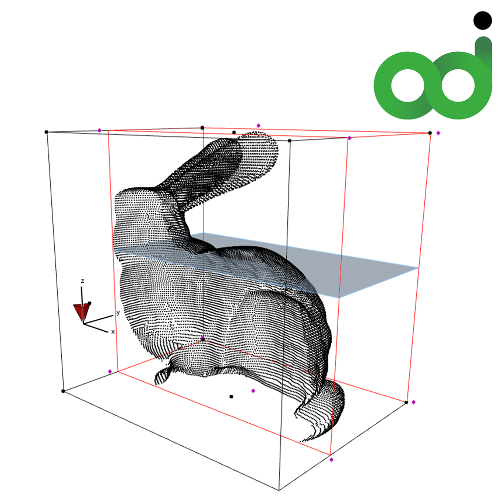
• Advanced Sectioning: Isolate specific zones using an adjustable 3D cutting box or draft custom, multi-node cutting polygons to clip complex, irregular site features.
• Automated Level Slicer: Generate automatic horizontal slices and contour level lines by defining a base height, slice thickness, and offset distances.
• Live Quantification & Labels: Automatically calculate and display polygon perimeters, areas, individual segment lengths, and partial lengths directly on your 2D plans.
• Dynamic Animation: Create automated visual presentations by animating cutting boxes and planes along the X, Y, or Z axes over a custom timeframe.
It is exceptionally useful for optimising large-scale scan-to-BIM workflows, ensuring high model performance and spatial accuracy while seamlessly extracting actionable geometry from your point clouds.
Price // £89 (GBP) + VAT if applicable
Licensing // The price is for an unlimited number of point clouds per Archicad license.