
003. Setting Out Tool
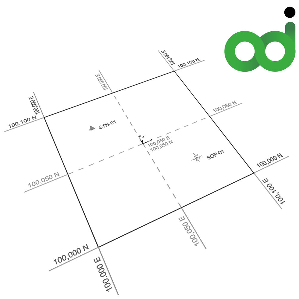
003. Setting Out Tool
Developer // airc.digital
OS // MAC - Windows
Language // English - Spanish - French - German - Italian - Portuguese
Version // 001.01.01 - from Archicad v.25 & onwards
Description // The Setting Out Tool is an advanced design object created to automate site coordinate mapping and transform how you manage survey data in Archicad.
• Spatial Coordination: Sync and lock your site grid to global coordinates with a single click via native Archicad Survey Point integration, while seamlessly toggling between datums such as Project Origin or Altitude.
• Dynamic Point Management: Graphically place, sequence, and split Setting Out Points (SOP) and Survey Stations (STN) in 2D and full 3D projection using smart, interactive mid-point hotspots.
• Live Polygon Tracking: Generate dynamic boundary polygons between your points to instantly compute and extract geometric centroids, boundary perimeters, and enclosed areas.
• Automated Coordinate Schedules: Eliminate manual data entry and costly drafting errors by reporting real-world Easting, Northing, and Elevation data directly to live, scale-responsive tables on your floor plan.
It is exceptionally useful for optimising site-to-BIM workflows, guaranteeing precise site documentation while saving hours of manual drafting and coordination time.
Price // £89 (GBP) + VAT if applicable
Licensing // The price is for one per Archicad license.