Las Casa La Siesta
''A key requirement from our client was to use the natural topography of the site to both maximise the development of the site but also reduce its visual impact within the local landscape. We developed a detailed existing landscaping model to determine the most efficient location and massing for the proposal.''
Click to Enter the Digital Twin
Our Role
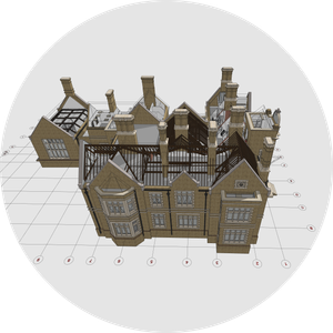
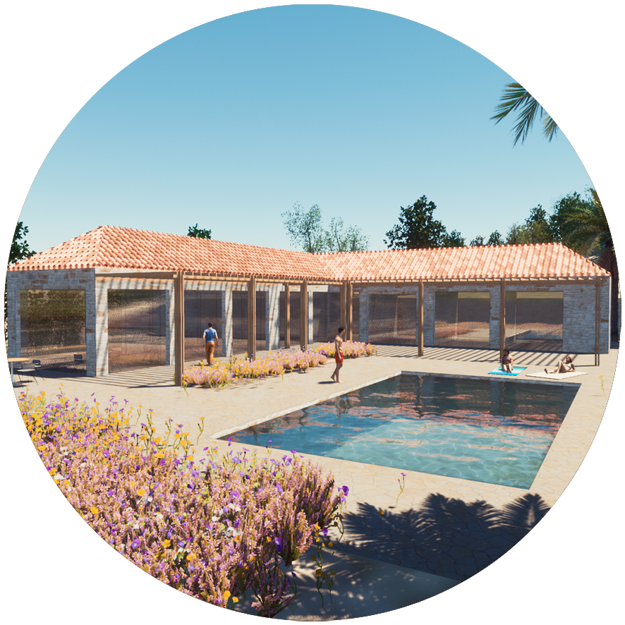
We developed the existing landscaping BIM model in Archicad based on the E57 point cloud survey to help assessing the existing topography. We used CloudTool, our bespoke GDL design tool for Archicad, to build the existing BIM model. Working closely with the project team, we developed several options of a modern interpretation of the local vernacular style using the BIM model to determine the best way forward in maximising the value of Casa La Siesta.
Team
Casa La Siesta (client) /airc.design (architecture - Archicad) /airc.digital (BIM - Archicad) /geoavance (point cloud survey - E57)
Digital Twin for Landscaping /Archicad
Point Cloud to BIM for Landscaping ©airc.digital
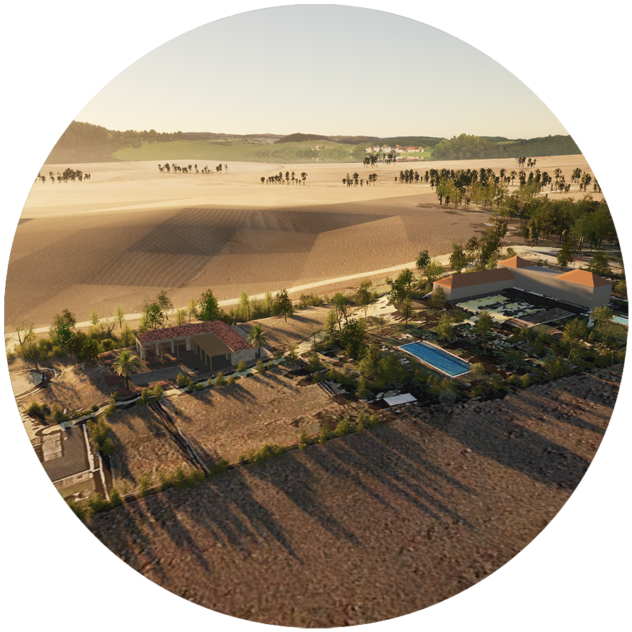
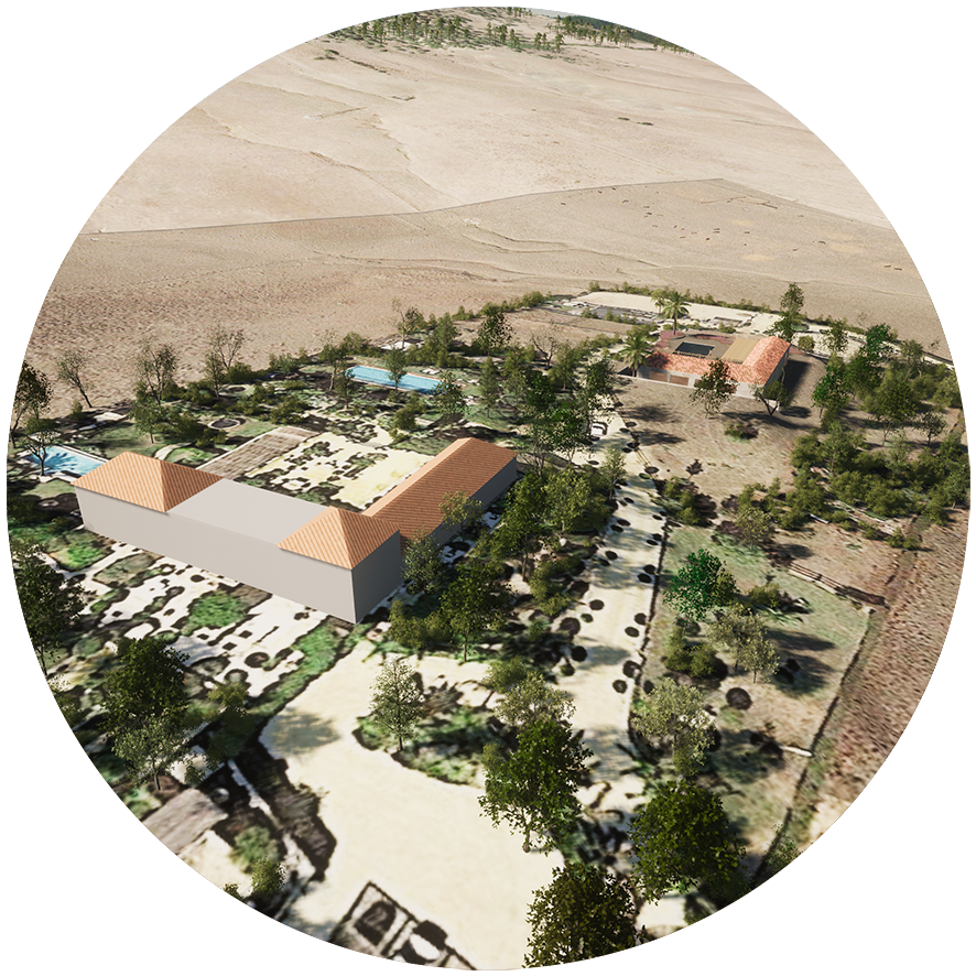
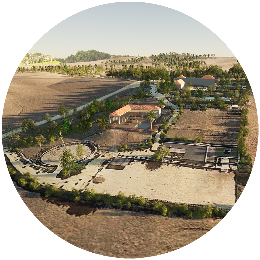
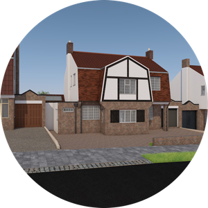
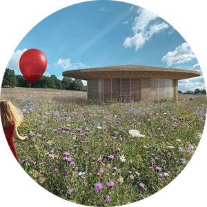
Some of the landscaping visuals generated ©airc.design

