
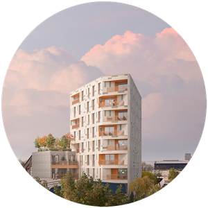
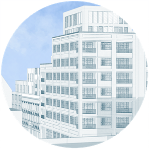
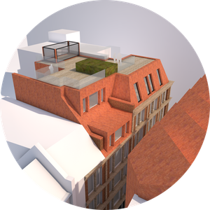
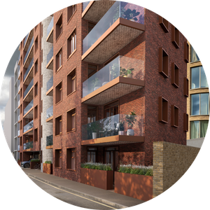
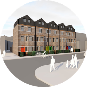
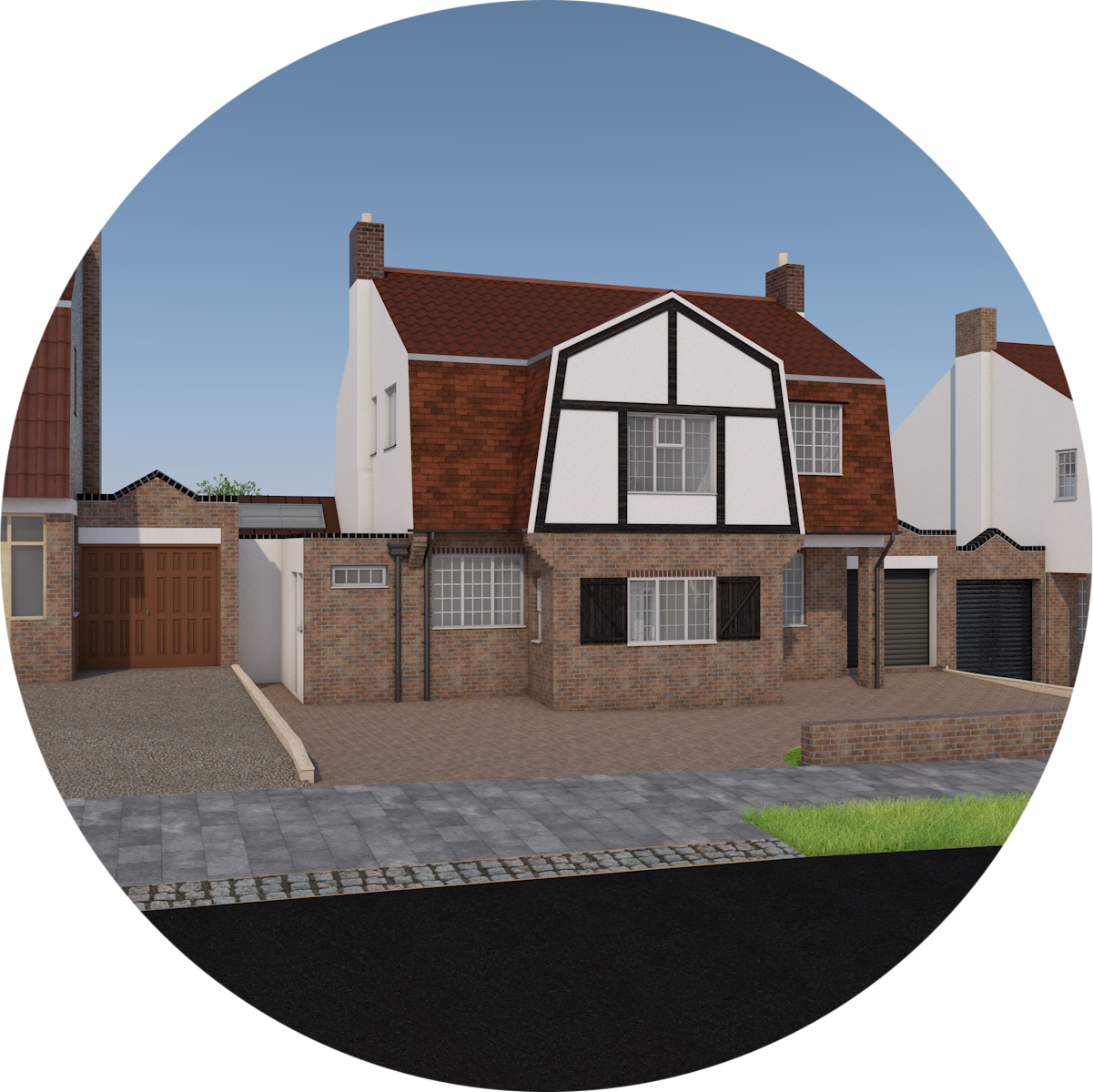
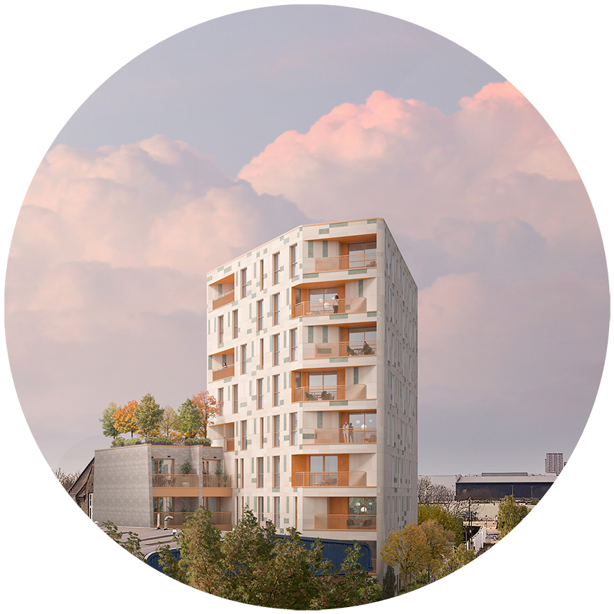
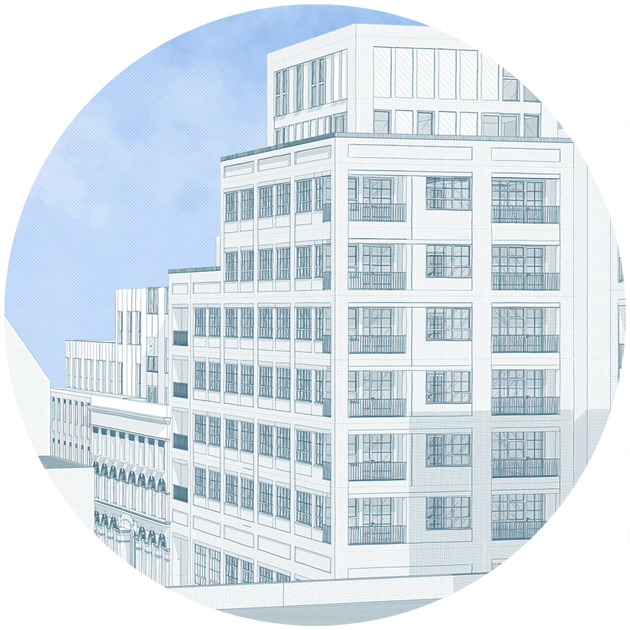
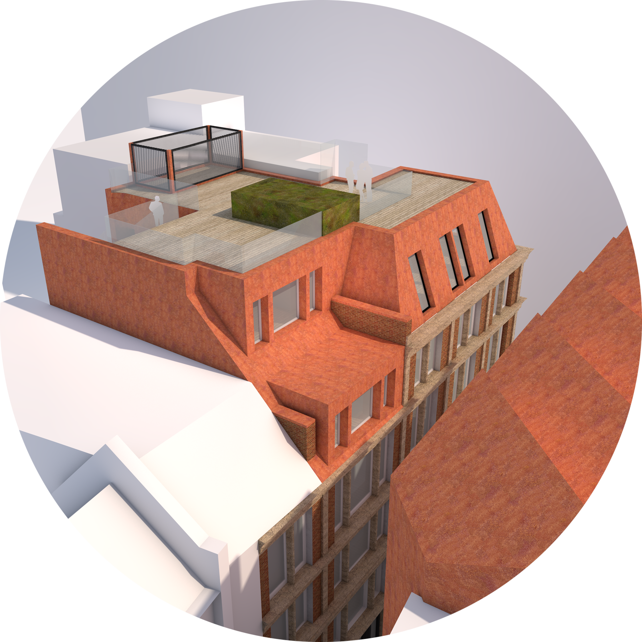
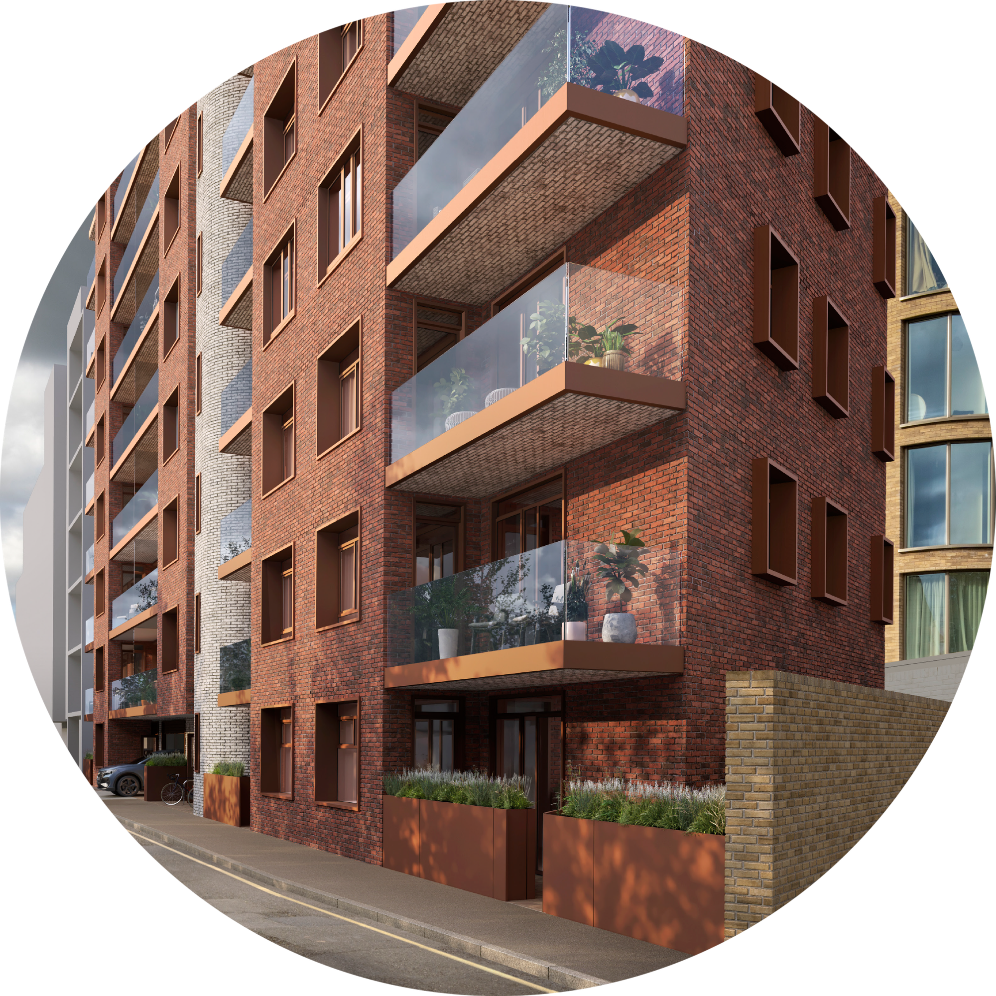
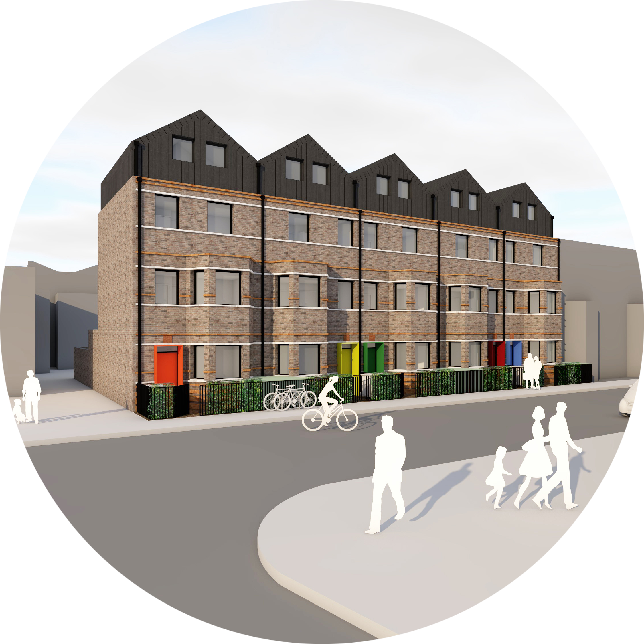
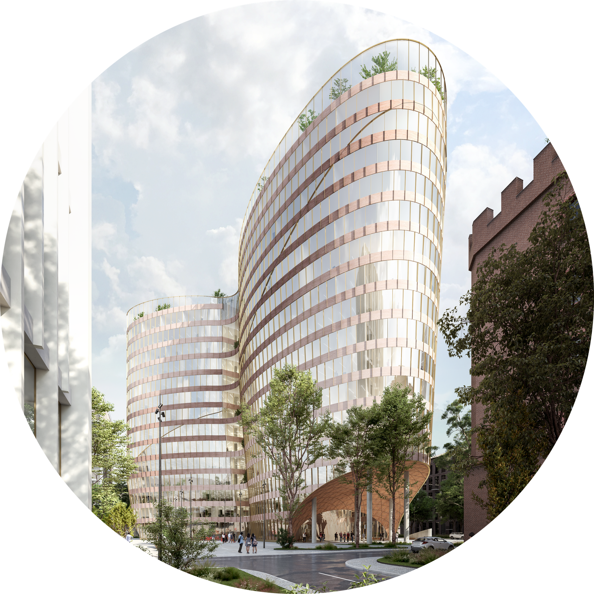
Tamworth Rd 44-47
''A key requirement from our client was to develop a design respectful of the Church Street Conservation Area and the former Salvation Army Mission Chapel located directly south and east of the site. Our proposal therefore explores a modern re-interpretation of key elements of the Conservation Area and the Mission Chapel.''
Our Role
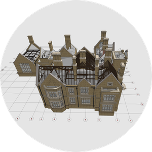
We developed the existing BIM model in Archicad based on the E57 point cloud survey to help our client visualise and assess the characteristics of the existing buildings. We used CloudTool, our bespoke GDL design tool for Archicad, to build the existing BIM model. Working closely with the client and Croydon Council, we developed a heritage led design within the proposed BIM model up to a successful planning application.
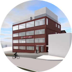
Salvation Army Mission Chapel
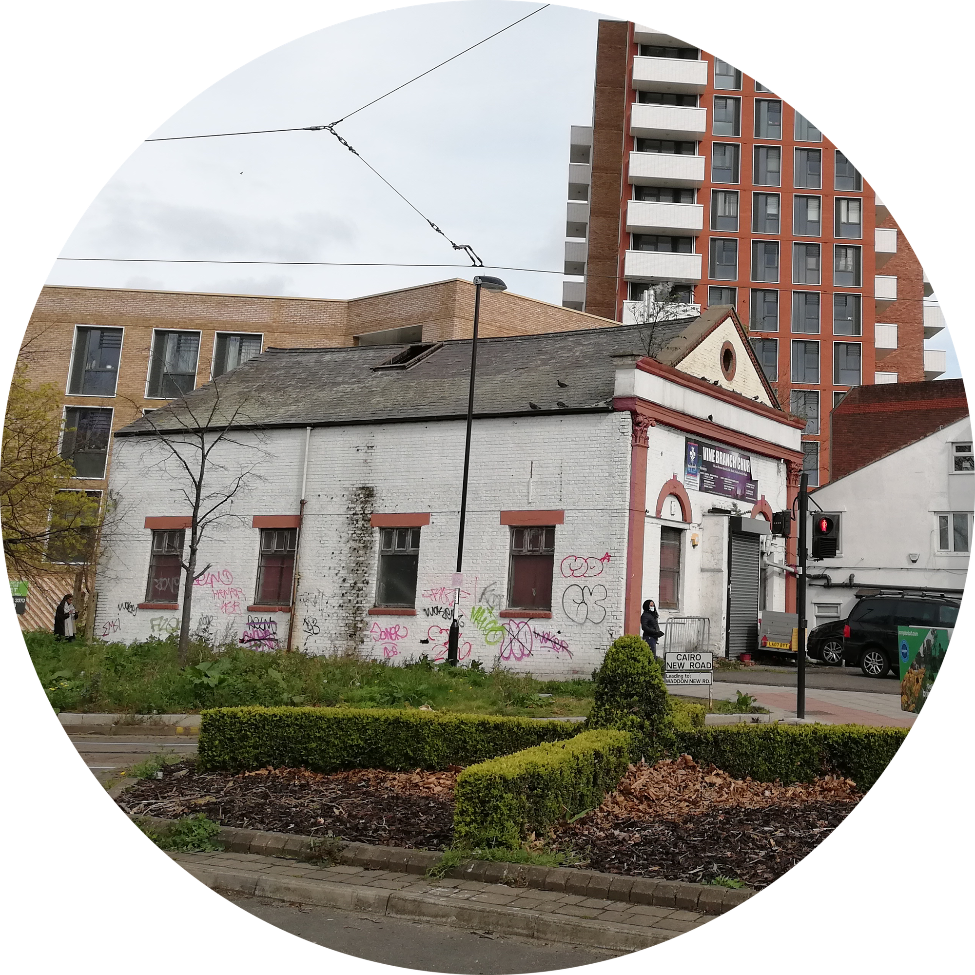
The Salvation Army Mission Chapel in Croydon was the first one established outside of London.
''The Mission Chapel derives much of significance from its simple but legible architectural design as a non- conformist chapel. However, its significance has been adversely impacted by its current degraded state and the extent of inappropriate alterations to the locally listed building. The chapel was originally constructed to be seen from its front elevation only, and was historically surrounded by other built form rather than its current open feel. For this reason, the significance of the Mission Chapel is best appreciated from close-up views on Tamworth Road as demonstrated [below]. The presence of the proposed development adjacent to the chapel is in-keeping with historic precedent and how the chapel was intended to be experienced.'' ©Heritage Architecture
Collaboration with Croydon Council
The planning application process included an in-depth discussion between the project team and Croydon Council (Local Planning Authority /LPA) to establish the appropriate design on this brownfield site in a key location. This resulted in a design: "where a visual separation between 'the front of house' and 'back of house' areas takes place. This hierarchical separation is achieved by the type of fenestration and the distance between windows proposed while, the horizontal banding between the levels is connecting the front and the rear elevations. A more in depth research of the existing buildings elevations in the area was able to identify the fenestration pattern, rhythm, window spacing, visual separation between levels, windows and details proportions."
Team
Line Homes (client) /airc.design (architecture - Archicad) /airc.digital (BIM - Archicad) /hgh (townplanning) / Rapleys (daylight - sunlight) /LoveDesignStudio (energy - sustainability) /Orion FE (fire engineering) /Heritage Architecture (HTVIA) /iTransport (Transport) /Guarda Landscaping (landscape architecture - Vectorworks - CAD) /RockHunter (visuals)
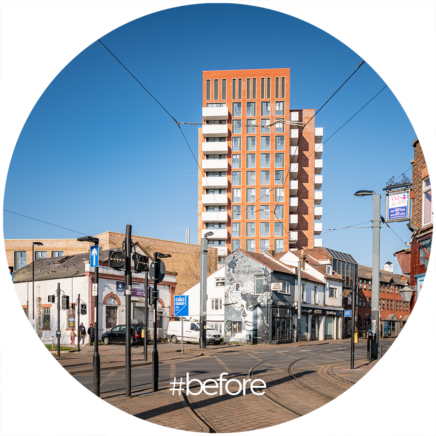
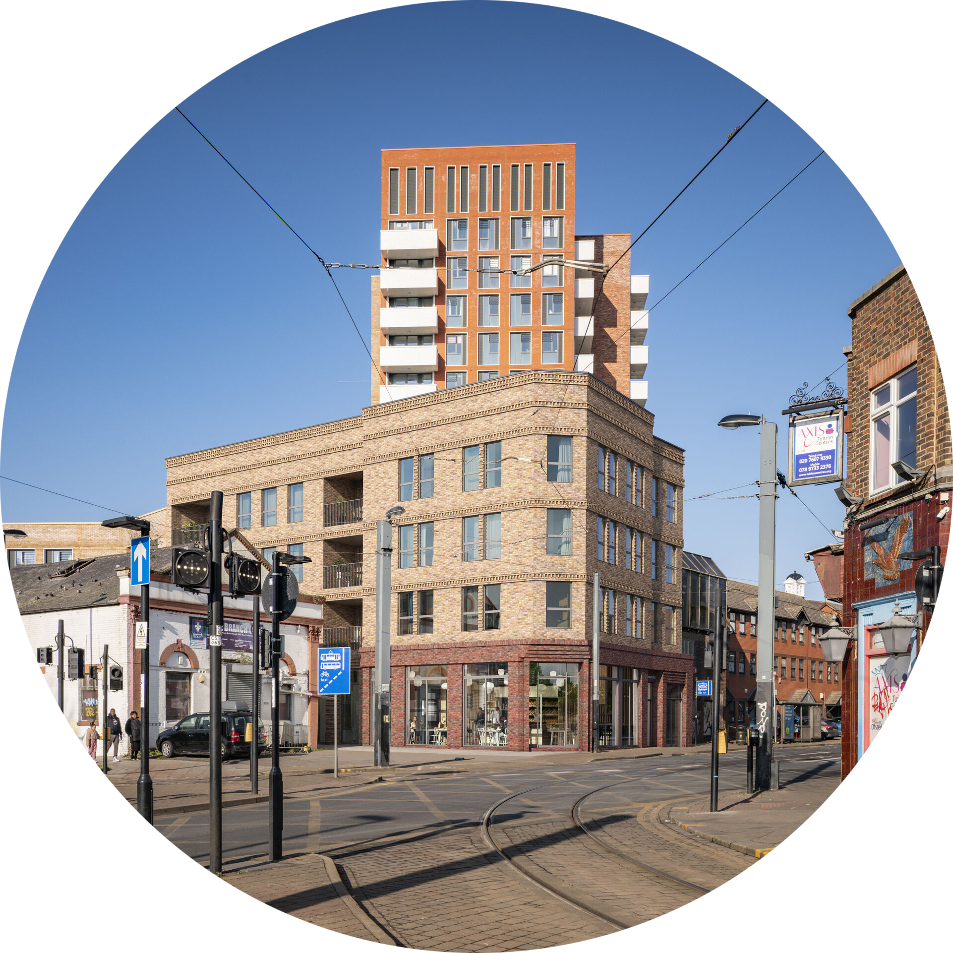
Before and after context CGIS ©RockHunter
